The Unique Maps Co.
Old Map of Lewes, Delaware by USGS, 1954 – Cape Henlopen State Park & Fort Miles
Old Map of Lewes, Delaware by USGS, 1954 – Cape Henlopen State Park & Fort Miles
Couldn't load pickup availability
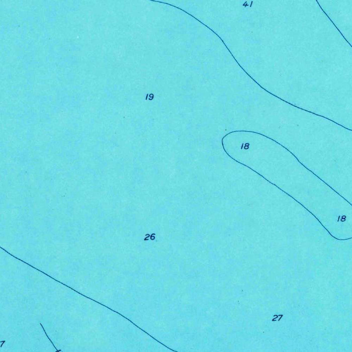
Published in 1968 from survey data gathered in 1954, the USGS quadrangle titled “Lewes” captures a revealing moment in the mid-century transformation of Delaware’s Atlantic coast. At 1:24,000 scale, it presents Lewes and its surrounding shoreline with the precise, field-based authority for which the United States Geological Survey became renowned. The map balances scientific clarity with visual appeal: pale blue waters define Breakwater Harbor, Roosevelt Inlet, and the nearby bays, while greens distinguish wooded and vegetated ground, and fine contour lines trace the subtle elevations of a low coastal landscape. More than a navigational document, it is a portrait of a historic maritime town and its changing environment at a time when tourism, infrastructure, and conservation were reshaping the shore.
Lewes itself is the central historical presence on the map, a town often described as one of the earliest European settlements in what became the United States. Its position near the mouth of Delaware Bay gave it enduring strategic and commercial importance, from colonial maritime trade to coastal defense. The mapped street patterns, beaches, inlets, and harbor works evoke a settlement long tied to navigation, fishing, and the movement of people along the Atlantic seaboard. Lewes Beach and Breakwater Harbor are especially evocative features, revealing the town’s close relationship with sheltered water and open bay. In the careful USGS rendering, this old port appears not as an isolated historic relic, but as part of a living coastal system of roads, waterways, dunes, and developed shorefront.
Cape Henlopen and Fort Miles give the map a striking military and geopolitical dimension. Fort Miles, established during World War II, guarded the entrance to Delaware Bay and protected the approaches to the vital industrial and naval centers farther inland. Its presence on the quadrangle recalls the tense wartime years when this quiet shoreline formed part of a broader defensive network watching the Atlantic. Cape Henlopen, now associated with state parkland and coastal recreation, appears as a landscape where natural beauty and strategic necessity overlapped. The map’s depiction of roads, installations, shorelines, and open ground hints at the postwar transition of military landscapes into public and recreational spaces, a story repeated along many American coasts in the decades after 1945.
The topographic character of this sheet is particularly compelling because it records a landscape shaped less by dramatic mountains than by delicate coastal gradients. Contour lines mark modest rises and depressions, making visible the low relief of beaches, marshy margins, wooded tracts, ponds, and inland waterways. Rehoboth Bay, Indian River Bay, Roosevelt Inlet, Breakwater Harbor, and the many smaller ponds and streams suggest a watery, shifting geography where land and sea continually negotiate their boundaries. The use of light blue for water and green for vegetation gives immediate legibility to this ecological complexity. Here, the USGS style turns subtle terrain into readable evidence: dunes, wetlands, forests, roadways, and settlements become part of a single, intricately organized coastal fabric.
As a product of the United States Geological Survey, the “Lewes” quadrangle belongs to one of the most influential mapping traditions in American history. The USGS built its reputation on standardized, accurate, and richly detailed topographic maps used for engineering, land management, environmental study, planning, and disaster response. In this 1954-surveyed coastal sheet, that institutional purpose intersects beautifully with local history. The map records Lewes during a period when automobile access, beach tourism, suburban development, and public conservation were beginning to alter the Delaware shore in lasting ways. Its details preserve the relationship between historic town, military reservation, harbor, parkland, and fragile coastal environment, offering an elegant snapshot of a region poised between its maritime past and its modern recreational future.
Cities, towns and places on this map
- Lewes
- Fort Miles
- Cape Henlopen State Park
- Lewes Beach
- Breakwater Harbor
- Roosevelt Inlet
- Barnegat Inlet
- Rehoboth Bay
- Indian River Bay
- Various ponds and streams
- Areas of vegetation and forests
- Landmarks associated with historical significance
Historical context & cartographic details
- Produced by the United States Geological Survey, this historical 1:24,000 topographical map shows Lewes, Delaware and the surrounding area.
- Survey data dates from 1954, with publication in 1968.
- The USGS is a major federal agency known for reliable mapping, surveying, environmental data, disaster response, and land use planning.
- Lewes is recognized for its historical significance as one of the first towns in the United States.
- Fort Miles was an important military installation during World War II.
- The map uses vibrant colors, with water shown in light blue and land areas in varying shades of green for vegetation and ground cover.
- Contour lines indicate elevation changes across the coastal landscape.
- The map shows coastal topography, including parks, bodies of water, and natural features.
- The 1950s were a period of development and transformation in coastal areas, influenced by tourism, urbanization, and changing land use.
Looking for a particular place? Review the detailed images to confirm that the town, landmark or feature you have in mind appears on the map. If you are unsure, ask our workshop to check before you order.
Detailed maps are especially rewarding at larger sizes, where names, boundaries and decorative features have more room to be appreciated. Use the close-up preview and size guide to choose the right scale for your wall.
This map looks amazing at sizes all the way up to 50in (125cm). If you are looking for a larger map, please get in touch.
The model in the listing images is holding the 16x20in (40x50cm) version of this map.
Where personalisation is available, you can add a short title or dedication, mark one meaningful place, or request one considered visual detail. See personalised map examples.
Every piece is printed to museum-grade archival standards using fade-resistant pigment inks on acid-free matte paper. Choose an unframed map print, framed map or canvas using the finish options above. Framed maps use crystal-clear optical acrylic and arrive ready to hang.
With its rich detail and strong sense of place, this map makes a considered gift for a new home, anniversary, retirement or anyone with a personal connection to the area shown. Still deciding? Explore our collection of rare old and vintage maps to discover another place, period or style.
Share