The Unique Maps Co.
Old Map of Dauphin Island, Alabama by USGS, 1958 – Mobile Bay, Fort Gaines & Alabama Port
Old Map of Dauphin Island, Alabama by USGS, 1958 – Mobile Bay, Fort Gaines & Alabama Port
Couldn't load pickup availability
Published in 1983 from survey work dated 1958, the U.S. Geological Survey’s “Little Dauphin Island” presents a finely observed portrait of Alabama’s barrier-island coast at a pivotal moment in its modern history. At 1:24,000 scale, the map captures Dauphin Island, Mobile Bay, Alabama Port, and the surrounding waters with the clarity and precision for which the USGS became renowned. Its pastel tints, crisp line work, and carefully layered symbols give visual order to a landscape defined by sand, marsh, shallow channels, and shifting shorelines. More than a navigational document, it is a record of a coastal environment where natural processes and human settlement meet, revealing the island’s beaches, roads, bayous, and low elevations in exacting topographical detail.
The U.S. Geological Survey, founded in the late nineteenth century, transformed the mapping of America’s landscapes by combining scientific rigor with a standardized cartographic language. This map reflects that tradition: contour lines articulate subtle elevation changes across Dauphin Island, while hydrographic detail distinguishes Mobile Bay, adjacent channels, tidal flats, and the shallow waters that define the island’s edges. In a place where even modest rises in land can shape settlement, drainage, and vulnerability to storms, the topographical information is especially meaningful. The map’s restrained design allows beaches, marshlands, roads, and landmarks to be read at a glance, making it both elegant and practical—a classic example of mid-century federal cartography applied to a fragile and dynamic coastal setting.
Dauphin Island itself is among the most historically resonant places on the northern Gulf Coast. As a barrier island guarding the entrance to Mobile Bay, it has long held strategic importance, most famously during the American Civil War, when control of the bay became a major military objective. Fort Gaines, shown near the island’s eastern end, evokes that martial history and the Battle of Mobile Bay, where Admiral David Farragut’s fleet forced passage in 1864. The map situates this landmark within a broader coastal system: the East End and West End of Dauphin Island, stretches of beach, interior marshes, and the roads tying these places together, including State Route 193.
Beyond its military associations, the island is an ecological threshold between Gulf and bay, land and water, permanence and change. The map’s depiction of marsh areas, beaches, bayous, and nearshore shallows speaks to the habitats that make Dauphin Island a crucial refuge for migratory birds crossing the Gulf of Mexico. Shell Mound, one of the island’s notable features, hints at deeper human history, recalling Indigenous presence and the long relationship between coastal communities and marine resources. The surrounding waters of Mobile Bay and the approaches near Alabama Port underscore the island’s continuing role in navigation, fishing, and regional commerce, while also suggesting the delicate balance between development and conservation.
Created during an era of increasing attention to coastal planning and environmental management, this map is a valuable historical snapshot of Dauphin Island before many later transformations in shoreline use, infrastructure, and storm response. Barrier islands are inherently mobile landscapes, reshaped by hurricanes, tides, currents, and sediment movement; a topographic map of this kind preserves evidence of where beaches, marshes, channels, and roads stood at a particular moment. Its quiet precision invites comparison across decades, offering insight into land-use patterns and coastal change. For collectors, historians, and admirers of Gulf Coast geography, “Little Dauphin Island” is a richly informative view of a beautiful, vulnerable, and historically significant Alabama shoreline.
Cities, towns and places on this map
- Dauphin Island
- Mobile Bay
- Alabama Port
- East End (Dauphin Island)
- West End (Dauphin Island)
- Fort Gaines
- State Route 193
- Shell Mound
- S Bayou
- Various unnamed beaches and marsh areas
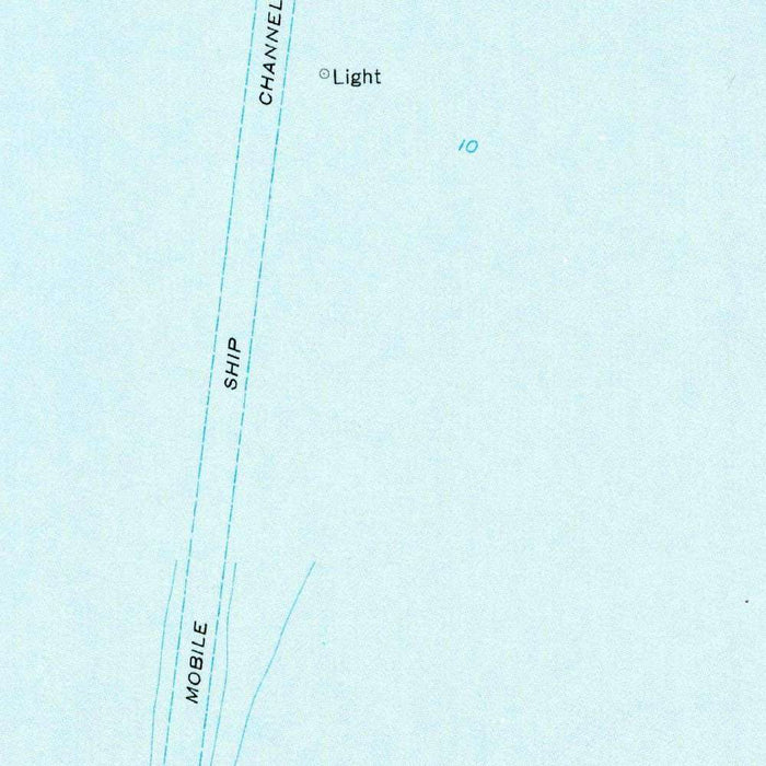
- Navigational channels and water bodies adjacent to the island
Historical context & cartographic details
- Produced by the U.S. Geological Survey, this historical 1:24,000 topographical map shows Dauphin Island, Alabama, and the surrounding area.
- The map is dated 1958 and carries a 1983 imprint.
- The USGS is known for its high-quality geological, topographical, and hydrological maps of the United States.
- Dauphin Island is a barrier island with ecological and historical significance, including its role in the Civil War and as a refuge for migratory birds.
- The map uses pastel colors and clear line work, making it easy to read for navigation and study.
- Contour lines show elevation changes and highlight the island’s beaches, marshes, and shallow waters.
- The map records coastal geography and land use during a period of growing interest in coastal management.
Looking for a particular place? Review the detailed images to confirm that the town, landmark or feature you have in mind appears on the map. If you are unsure, ask our workshop to check before you order.
Detailed maps are especially rewarding at larger sizes, where names, boundaries and decorative features have more room to be appreciated. Use the close-up preview and size guide to choose the right scale for your wall.
This map looks amazing at sizes all the way up to 50in (125cm). If you are looking for a larger map, please get in touch.
The model in the listing images is holding the 16x20in (40x50cm) version of this map.
Where personalisation is available, you can add a short title or dedication, mark one meaningful place, or request one considered visual detail. See personalised map examples.
Every piece is printed to museum-grade archival standards using fade-resistant pigment inks on acid-free matte paper. Choose an unframed map print, framed map or canvas using the finish options above. Framed maps use crystal-clear optical acrylic and arrive ready to hang.
With its rich detail and strong sense of place, this map makes a considered gift for a new home, anniversary, retirement or anyone with a personal connection to the area shown. Still deciding? Explore our collection of rare old and vintage maps to discover another place, period or style.
Share